David and I (Nancy) went to scout this hike. We had a GPS track that was labelled Idaho Pass. The track took us on the immediate trail left of the road. Once on this trail, the track turned toward a wash and back toward the property lines of N. Cactus Road. There was no trail to be seen, just washes that had been grown over. If we had kept going we would likely have arrived at the trail that would take us to the right and onto the road, but we thought that the start of the hike would not have been a great hiking experience. After giving up on the track we found a trail with fresh footprints. We talked to some hikers who said they were going on a loop that would take them to their cars on a trailhead to the west of us. Their hike was about 4 miles. We followed the trail back to the road and followed it up into the mountains until we came across a road that took us on a loop to the trailhead. We talked to other hikers, they said there was a good trail along the top of the ridge, that we would be able to see the Town of Goldfield. We took the road for a while then turned onto a trail that was close to the trailhead toward the mountains. These were largely ATV Trails that did not take us to a navigatable trail. We came back to the road and decided we had enough for the day. There are more interesting trails along these mountains. I could not find a hike on this trailhead on All Trails Website. Later I found this on Gaia Maps. The black dots are power poles. We decided to go on an alternate hike this Friday, November 22, 2019 to Romero Pools and Romero Springs in Catalina State Park.
The lesson from this scouting hike was that just because there is a GPS track, it doesn't mean there is a trail.
 |
| Trailhead |
 |
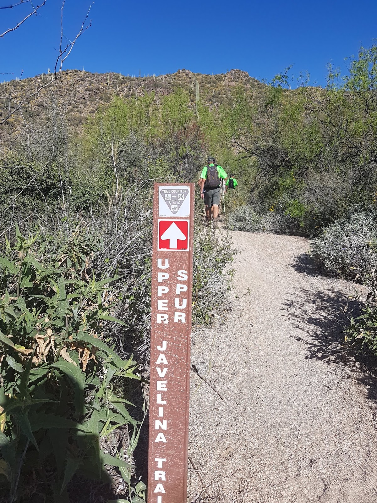
| A Potential Trail |

GPS Track that I had uploaded, but this did not follow a trail.
It may have picked up a trail later, but we didn't think this would be a good trail to take hikers.