David and I (Nancy) started hiking this trail at 9:20 from the First Water Trailhead on a cool and windy day.


Hike Summary
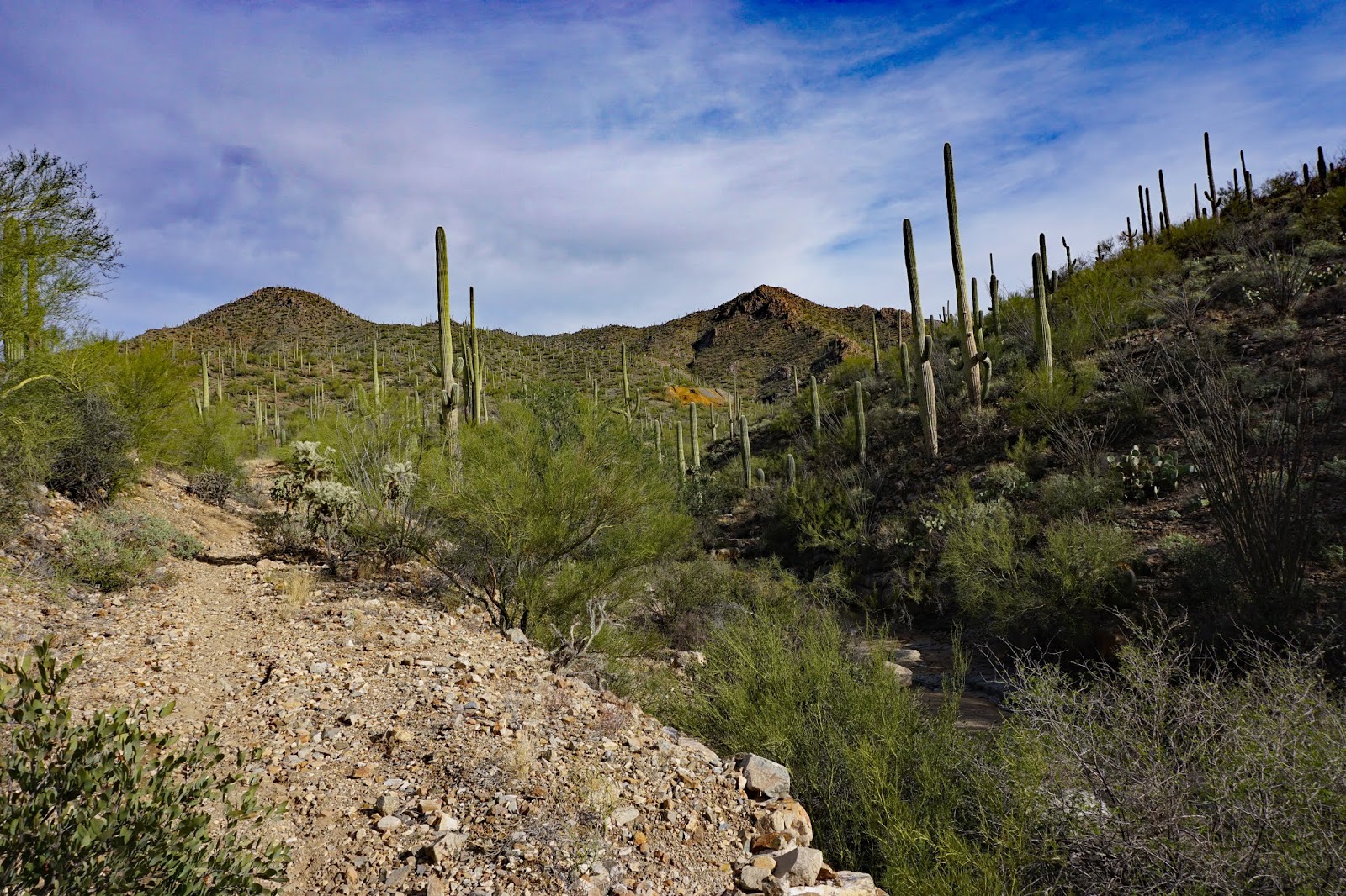
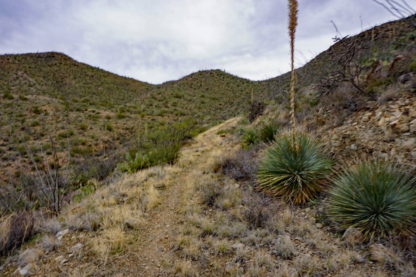
At 9:25 am there were high winds and a cool temperature at the beginning of this hike. The hike started at the First Water Trailhead where the first part of the trail winds gradually down into a creek bed with many large stones. We meet the junction of Dutchman #104 and Second Water Trail. We took Second Water Trail which then headed up into a meadow with nice views of bluffs lots of vegetation and different varieties of cactus. The mountains around sheltered us from the wind once we hiked about 20 minutes. Then we began to follow a ridge and views of a wash and further along we can see Wasson Peak in the far distance and a Mesa came into view along the way. Along the way, we descended into two creek beds where we could see ponds of water. We followed the creek bed, then crossed the creek again and started climbing gradually where there are very nice views across a canyon. From here we walked up a pathway to another meadow. This flat area is very sandy and had green desert grass and cactus. We came up to the Black Mesa Trail sign that shows a trail going to Black Mesa Loop. The other sign points out Second Water Trail that takes you up to Boulder Canyon. A little to the left there is the sign for Hackberry Trail and Second Water Trail. We took Hackberry Spring Trail. We hiked through a boggy area that showed us how wet it could get in recent rain. The trail started heading up a gradual slope. A great view of Wasson Peak can be seen when looking backwards. The trail headed up and over some welded tuff rock and eventually came to a great vista of a valley where we could see the trail from the distance on the other side. Then we wound down toward a very steep wash with large boulders. It is very scenic in this little valley. This is a good place to take some time to look at the scenery and rock formations. From here we walked down into a beautiful green grassed area near the creek that originates from springs. It was 11:30 and a good place for lunch. After lunch, we continued on a trail that follows the creek. We crossed the creek when we could not follow it on the left side any longer, just before some very large rocks. The trail was windy and we were following the creek bed. The creek has very large rocks and is very picturesque, but sometimes difficult to navigate. At this time we had to refer to the track in order to find our way out of this area. It took us across the creek from the right side to the left were we walked amoung the rocks, then we crossed again the the right side. We turned a corner just before two large boulders and walked along the right side, then crossed again and walked along the rocks. Here there are two steep walls where we navigated along the wall and back across the stream again. We followed a trail that took us onto a sandy trail. This trail eventually leads us to a set of corrals and an old abandoned windmill stand. We veered to the left along a well-marked trail along the creek until we came to an area where the trail was not clear. We saw a cairn leading into the creek, so we crossed the creek, following several cairns to the other side where we picked up the trail again that headed back to the Second Water Trail. We then hiked over the creekbed and to the trailhead. A very scenic hike. We arrived back at the Trailhead at 1:07. I would consider it to be a B or B+ because of the rocks on the creek bed.


 |
| 6 miles |

The purple line is Hackberry Spring Loop
 |
| Elevation in Km. |
Driving Directions:
From Palm Creek go right out of the park gate to Cottonwood,
turn right. Drive 3 miles then turn left on Overfield Road and drive 4 miles to Woodruff
Road and turn right. Drive 2 miles then turn left onto N Signal Peak Road. Drive 3.6
miles to Highway 87 which turns into 287 for another 2.9 miles. Turn left at the lights to
Attaway Road and drive for 3 miles, then turn right onto W Hunt Highway. Drive 5.6 miles
to Highway 79. Turn right on Highway 79 and drive to the junction of Highway 60. Turn
left and merge onto Highway 60. On Highway 60 drive 13 miles (three miles past
King’s Ranch). Just past Mountain View road bear right on E Old West Hwy (exit 199).
On E Old West Highway turn right at the stop sign, then bear left continuing on Old West
Highway to the traffic light on Tomahawk Rd. Turn right going northward for 2 miles until
you come to the junction of Hwy88. Turn right. Proceed past the entrance to Lost
Dutchman State Park, a short distance to a signed road “First Water Trailhead”.
Turn right on this dirt road and proceed cautiously for 2 1/2 miles, past a staging and
parking area for horses and trailers, to the end of the road where there is a good parking
area. Pit toilets available. Driving distance is 63 miles each way.