Walking trails around Central Alberta

Showing posts with label Catalina. Show all posts

Thursday, January 5, 2023

January 4, 2023 50 Year Trail - East Golder Ranch Drive

We turned off I-10 East (exit 219) at Picacho Peak and turned right onto Camino Adelante Road then turned left onto Park Link Road until the end of the road. We turned right onto Highway 79. We turned right onto Highway 77 and drive past the Oracle Junction. We turned left onto E. Golder Ranch Drive. The Valero Gas Station is a good place to stop for the restroom. We continue on E. Golder Ranch drive until we come to a parking lot and a cattle guard.  Google maps to E. Golder Ranch Trail

Google maps shows 50-year trail at the end of East Equestrian Trail. This is a road that is past the cattle guard and proceeds straight toward another cattle guard. There is no real parking lot there. If we could park there it would take us ½ mile closer to the rocks but it would need to be an out-and-back hike. All Trails - 50 year trail


E. Golder Ranch Parking Lot. 
Can see Mount Lemmon from here 

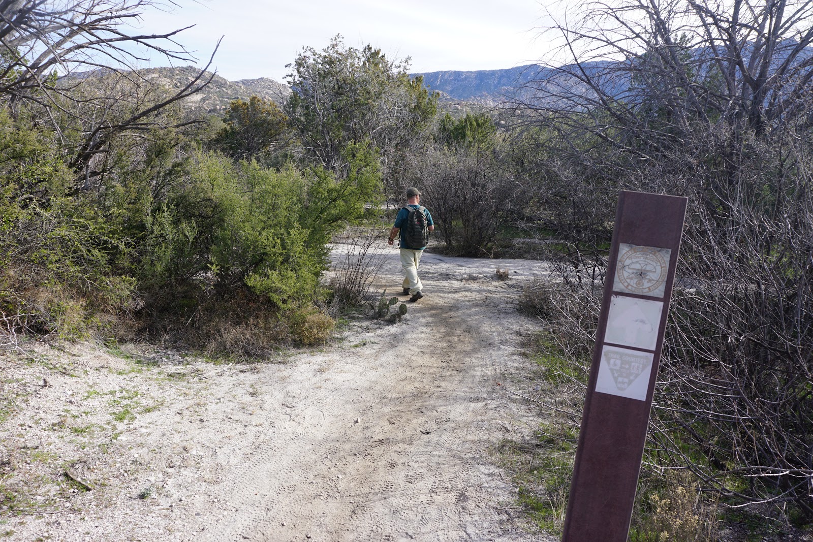
There are posts along the way, showing the trails.


We turned left here, to go clockwise on the loop. If we turned right we could go counterclockwise. 
This is on the trail, when we go clockwise. 

If we went on the left trail, it would take us to the residential area. 
John going down right trail.

This is a high area, where we start going down into a wash.

We met some bikers who had just done the Chutes. 
We turned left onto Gem Trail that took us up into the rocks. There is another Chutes Connector Trail that goes straight. The connector trail might be a shortcut to the rocks. 


We had lunch on the rocks. Great view. 
After lunch we took the trail to the right to continue the loop. 


We turned to the right after coming out from rocks. 
This is the 50 year trail. 


We came to a cattle guard that is the end of the E. Equestrian Trail. That is the trailhead for 50-year -trail, but we would have to have a permit to park there


There are corrals for cattle. 

We veered off the 50- Year- trail to the right. This trail takes us back to the parking area. 


We can see the parking area in this picture.


Tuesday, March 3, 2020

March 3, 2020 Prehike American Flag Trail - Arizona Trail - Near Oracle

Jerry and John prehiked this trail. Long hike (loop) is 8.6. Medium Hike is out and back is 7 miles.  The mine has been filled in. John put the loop on All Trails. Jerry put the out and back on All Trails. John and Jerry went 8.4 miles. 


Information Prior to Hike
This hike is a segment of the Arizona Trail which starts at the American Flag Trailhead just off the American Flag Ranch Road.
There is a High Jinks mine that is just off the trail that may be explored.
Long Hike - to the Ridge 7.4? May explore the High Jinks mine as well? The High Jinks mine is about 2.5 miles into the hike. All Trails has a hike that goes to the Oracle Ridge Trail. 9.8 miles Out and back.
American Flag Trail - Arizona Trail Segment

Medium Hike - High Jinks Mine - Ridge?

Directions: Take I-10 east to exit 219 (Picacho Peak) and turn left under the freeway. Go to the frontage road at the stop sign before the train tracks and then turn right. Follow the frontage road for about four miles to Park Link Drive and turn left. Follow this road 18 miles to Highway 79 and turn right. Go 10.3 miles to Highway 77 and turn left. Go about 10 miles and turn right onto American Avenue. Proceed through the town of Oracle until you come to Mount Lemmon Road and turn right. (There is no advance warning for the turnoff but there is a green sign right at the turnoff.) Follow the road for about four miles to American Flag Ranch road, and turn right at the street sign for American Flag Ranch Road. There is a wooden archway with a sign and a parking lot on each side of the road. Park on the right side of the road. No facilities at the trailhead.


Thursday, January 16, 2020

January 15, 2020 - Prehike - 50 Year Trail and Gem Trail at E. Equestrian Trailhead, Catalina

John and Nancy pre-hiked 50 Year Trail on a beautiful winter day with no wind and slight cloud cover.
The trail is located in Catalina State Park, at the end of East FeatGolder Ranch Drive at the end of
the pavement. The E. Equestrian Parking area is large and sandy with no washroom facilities.
It is advised to stop at the gas station at the corner of Oracle Road and East Golder Ranch Road.
The hike started at 9:30 at a Cattle Guard which indicated there were cattle in the area. We only
saw a bull and a steer on the whole hike. There are many paths scattered throughout the desert
so it is great to have an All-trails track to follow. The terrain was flat with desert vegetation
including large Teddy Bear, chain link and staghorn cholla and Mesquite trees for the first
hour and 15 minutes of the hike. We decided to go onto Gem Trail as it seemed to lead us to the
boulders and seen on the horizon. The trail wound around the rocks up to where we could see
views of the Golder Ranch area below as well as the mountains in Catalina Park. We continued on
Gem and had lunch at the turnaround point at 11:30. We enjoyed the walk through the boulders
and desert and arrived back at the trailhead at 1:30.
The extra loop on Gem Trail added 1 mile. This may be the difference between the medium hike
and the long hike.
We decided the medium hike would do one loop of the Gem trail and come back at a trail that
intersects Gem trail - 7 miles total. The long hike would continue and do a longer loop on
Gem Trail - 8 miles total.


Feature Picture - Enhance by Nancy