Walking trails around Central Alberta

Showing posts with label January 2020. Show all posts

Thursday, January 23, 2020

January 23, 2020 Prehike to Fat Man's Pass

Jerry and John Prehiked the Summit Road Trail Area for the short hike and decided they would start at Dobbins Lookout. 


Jerry at Fat Man's Pass 


Holbert Trail Marker


The trails taken on this hike were Dobbins Trail to Holbert to National Trail to Hidden Valley. Mormon and Hidden Valley Junction for lunch, then back on National and Holbert to Dobbins Lookout. About 7.8 miles


Thursday, January 16, 2020

January 15, 2020 - Prehike - 50 Year Trail and Gem Trail at E. Equestrian Trailhead, Catalina

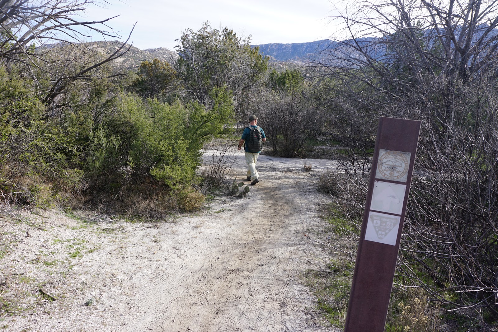
John and Nancy pre-hiked 50 Year Trail on a beautiful winter day with no wind and slight cloud cover.
The trail is located in Catalina State Park, at the end of East FeatGolder Ranch Drive at the end of
the pavement. The E. Equestrian Parking area is large and sandy with no washroom facilities.
It is advised to stop at the gas station at the corner of Oracle Road and East Golder Ranch Road.
The hike started at 9:30 at a Cattle Guard which indicated there were cattle in the area. We only
saw a bull and a steer on the whole hike. There are many paths scattered throughout the desert
so it is great to have an All-trails track to follow. The terrain was flat with desert vegetation
including large Teddy Bear, chain link and staghorn cholla and Mesquite trees for the first
hour and 15 minutes of the hike. We decided to go onto Gem Trail as it seemed to lead us to the
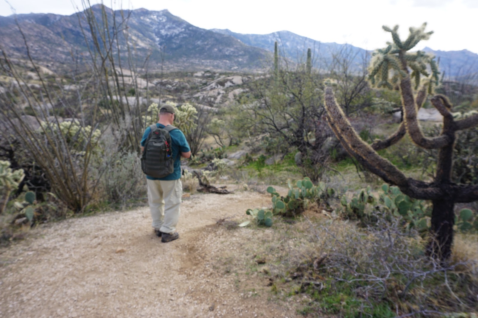
boulders and seen on the horizon. The trail wound around the rocks up to where we could see
views of the Golder Ranch area below as well as the mountains in Catalina Park. We continued on
Gem and had lunch at the turnaround point at 11:30. We enjoyed the walk through the boulders
and desert and arrived back at the trailhead at 1:30.
The extra loop on Gem Trail added 1 mile. This may be the difference between the medium hike
and the long hike.
We decided the medium hike would do one loop of the Gem trail and come back at a trail that
intersects Gem trail - 7 miles total. The long hike would continue and do a longer loop on
Gem Trail - 8 miles total.


Feature Picture - Enhance by Nancy


Wednesday, January 8, 2020

January 7, 2020 Prehike to Alamo Springs Hike - Tortolita Mountains - Dove Mountain


Pre-hike for the Alamo Springs Hike. Jerry and Nancy set out to determine a good hike to Alamo Springs from the Wild Burro Trailhead. There were two tracks from previous hikes. Both were 6-mile hikes. One went up Alamo Springs Trail and returned back Alamo Spur trail and Wild Burro Trail. This hike did not go to the Springs. The other trail went up the middle of the canyon and along the side, starting at Wild Burro to Lower Javelina and up Wild Burro to the Springs, then returning Alamo Springs trail to Alamo Springs Spur to Wild Burro and back to the Trailhead.

We decided to combine the Alamo Springs Trail hike and the Hike to the Springs. This made the hike 7.4 miles long and took 5 1/2 hour, elevation gain 1000 ft. It started at the Wild Burro Trailhead and the Wild Burro Trail (marked with purple signs). We followed this trail across the wash and to a sign where we turned left. We followed this until a map and weather station and sign. The Alamo Trail (marked with light blue arrows) starts to the right of the sign. We immediately started to climb with short switchbacks through large rocks. There was a view of the Hotel below. The trail started to wind to the other side of the mountain and up more switchbacks. Every so often the trail levelled out. There were beautiful views and the vegetation was that of the high desert with yucca plants and agave. We walked along the top winding our way down into washes and up again. We eventually arrived at the Spur Trail that would take us back to the Wild Burro Trail if we decided to take it. Because we wanted to go to the Springs, we decided to continue on Alamo Springs Trail to the right. It was 0.9 miles to the Spring from here. We passed the Ridgeline Trail where we turned to the left to continue on the Alamo Springs Trail. We met the Wild Burro Trail near the Springs and continued a short distance to the Springs. This would be a good place for lunch.
On the way back we took Wild Burro Trail that took us down a fairly steep decline to a wash. We followed the wash until we came to a Canyon Lookout over a wash. We took the trail to the right which took us up for a short distance until it started to wind down a steep descent to a stone house and a stone water tank. We followed the trail to the right of the stone house and from here it is a short distance to the wash The trail is clearly marked as Wild Burro Trail. As we walked we came across the Wild Burro trail to the right that takes us back to the Trailhead in 1.1 miles. We go past a sign near the hotel that directs hikers to other trails, then walk past some barbed wire fences to our right until we can turn into the wash. We follow the wash to the stairs to the Trailhead. (If we wanted to walk a little farther to the weather and map station where we started on Alamo Springs, and follow Wild Burro Trail back to the trailhead rather than walking in the wash we could do so.)

There was a slight diversion onto Lower Javelina trail for about 1/4 mile on either side of the wash. I took this off the GPX track. The Lower Javelina trail starts switchbacks shortly after leaving the wash. 


Feature Picture - Enhanced by Nancy 


We took the Lower Javelina Trail both directions for a short time- about 1/4 mile each way. We found that both trails made a steep climb up switchbacks of rocks. We decided we had enough for the day and went back on Wild Burro. 


Parking Lot with Pit toilets