- Hutch's Pool - John R., Jerry and Nancy
Trail Rating - B-
Trail Length - 8.9 miles
Location - Sabino Canyon
Elevation- 3800 feet
Hike Type -Out and Back
Contact - May need to contact the Park in order to book a tram for the number of hikers
we are expecting.
The new tram (coming in July 2019) will hold 60 people. Presently there is a shuttle service,
holding 30 people and have a ½ hour between trams going to the Sabino Canyon #9 stop.
Special considerations - Hikers need to be aware that we need to be there early in order to get
back to the trailhead in time to get the tram at the end of the day. Last Routine Tram is 4:30.
There is a tram at 5:00 to pick up people who are still walking down the road.
Parking. This hike should not be planned during March Break or when the park is busy.
Hard to find parking at these peak times.
Directions, distance and times to the trailhead: From I-10 and Florence Blvd go south on
I-10. At Exit 248 go east on Ina Rd., which will become Skyline Dr, which will become
Sunrise Drive. Go to the end of the road and turn left at the light, onto Sabino Canyon Rd.
Sabino Canyon Visitor Center is a short distance on the right. It is 70.2 miles from Palm Creek
to the Visitor’s Center.
This was a beautiful hike especially in the Spring with an abundance of a variety of flowers and new leaves on the Ocotillo and the Cottonwoods. Jerry, John and I hiked on April 10, 2019. Because there was plentiful rainfall this season, the Sabino Creek was especially high.
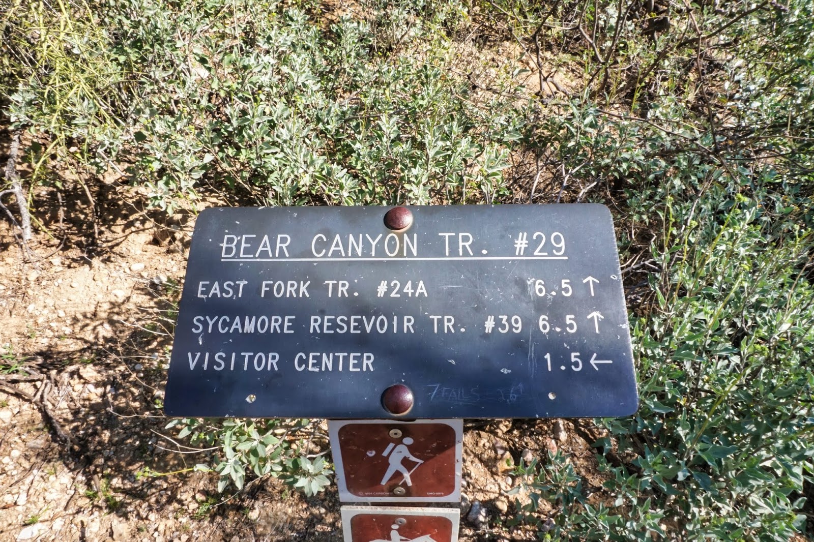
We started at the #9 tram stop and hiked steep switchbacks that met the Phone Line Trail. We turned left at the sign and continued to climb about a 500 feet elevation. There were views of Sabino Canyon where we could see the road and the vast rock cliffs. As we moved along the trail we began to hike on the back side of the mountain where we had several elevation gains and losses. We could view parts of Lemmon mountain in the distance and as we moved down into the canyon we could see the Sabino Canyon Creekbed with the green cottonwoods below. The trail comes to a fork and sign that shows directions to the West Fork Trail that leads to Hutch's Pool.
We had lunch at the sign. We had a late start because the tram was full and we had to wait for the 10:30 tram, so we were hungry.
The trail leads through meadows and keeps going down to the creek showing more beautiful canyon views. There is a rock along the way where Native American's have used for grinding nuts and seeds. The Creek was full so we took some time to figure out how to get across. Nancy took her shoes off, John and Jerry had longer legs and could navigate the rocks.
After crossing the creek the trail is marked with cairns and winds through a series of boulders in sand. The trail becomes more visible as it winds through the trees up toward the pool. At the pool, there is a nice beach and a pleasant pond with a waterfall at the end. A great place for lunch. We were short of time so we did not linger. This out and back trail showed new views of the canyon as we looked at it from a different perspective. We were able to get back to the trailhead by 4:20, ten minutes before the Shuttle.


.jpg)