We turned off I-10 East (exit 219) at Picacho Peak and turned right onto Camino Adelante Road then turned left onto Park Link Road until the end of the road. We turned right onto Highway 79. We turned right onto Highway 77 and drive past the Oracle Junction. We turned left onto E. Golder Ranch Drive. The Valero Gas Station is a good place to stop for the restroom. We continue on E. Golder Ranch drive until we come to a parking lot and a cattle guard. Google maps to E. Golder Ranch Trail
Google maps shows 50-year trail at the end of East Equestrian Trail. This is a road that is past the cattle guard and proceeds straight toward another cattle guard. There is no real parking lot there. If we could park there it would take us ½ mile closer to the rocks but it would need to be an out-and-back hike. All Trails - 50 year trail
Can see Mount Lemmon from here
We turned left here, to go clockwise on the loop. If we turned right we could go counterclockwise.
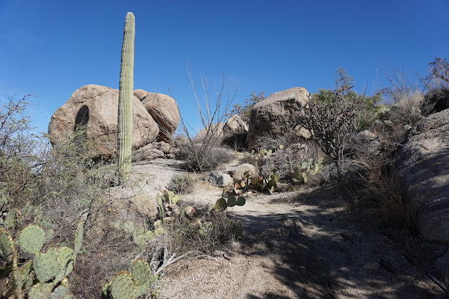
This is on the trail, when we go clockwise.
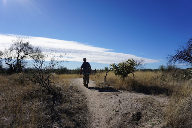
John going down right trail.
This is a high area, where we start going down into a wash.
We met some bikers who had just done the Chutes.
We turned left onto Gem Trail that took us up into the rocks. There is another Chutes Connector Trail that goes straight. The connector trail might be a shortcut to the rocks.
We had lunch on the rocks. Great view.
After lunch we took the trail to the right to continue the loop.
We turned to the right after coming out from rocks.
This is the 50 year trail.


No comments:
Post a Comment