Walking trails around Central Alberta

Thursday, February 9, 2023

February 8, 2023 Prehike to Fremont Saddle, Lone Pine Tree and Geronimo's Cave Trails.

John, Nancy and Jerry hiked to Fremont Saddle starting at the #102 Peralta Canyon Trail from the Peralta Trailhead. 

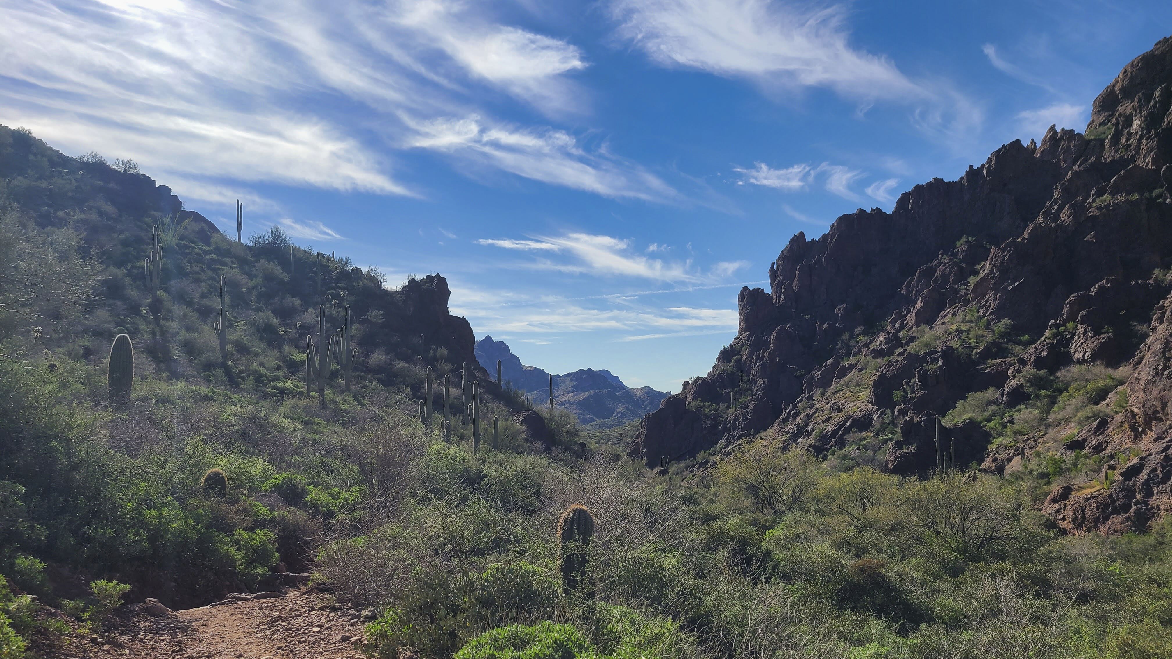
This starts with a gradual climb on a rocky trail. We saw water in little ponds in the rocks which are fed by small trickling streams. As we hiked the trail became steeper and we wound our way around large boulders. The landscape becomes more majestic as we hiked. Hoodoos and rock formations line the horizon as we hike up the canyon. We could see Geronimo's Cave and tuff rock as we hike further. After a rock formation that looks like a toy duck from one direction and a turtle from the other, the hike becomes a little steeper until we reach Fremont Saddle. Weavers Needle is the key feature of this viewpoint. We had lunch at the saddle. 

We explored other trails to see if we could find Robber's Roost, which is marked on the All Trails App. This trail starts immediately west of Fremont Saddle through a slit in the rocks, then goes up into the rocks. This trail is not moderate and we decided not to take it. Robber's Roost is difficult to find according to the Ranger and the comments on All Trails. 

We noticed a group of people in the distance toward the east and thought this would be a good place to go. We found out by other hikers that this is called Lone Tree Trail. This trail gave us a view of the west side of the mountain and a better view of Weaver's Needle. Most of the trail is flat, except for a group of rocks we must maneuver through. 

We thought this would be a good out-and-back hike for the medium group. 

The long group would go here too, then proceed to the Geronimo's Cave hike. John pre-hiked this by himself. He met up with two hikers from Germany who hiked with him all the way down Bluff Trail to the Trailhead. See John's All Trails Map.  

 Interactive Map for the hikes in Peralta Trailhead and Superstition Mountains

Nancy's All Trails Map

John's All Trails Map


Steep rock formation between Fremont and Lone Tree

This is a steep part between Fremont Saddle and Lone Tree


Sunday, February 5, 2023

February 1, 2023 Dove Mountain - Two Trails were prehiked today. Medium Hike Wild Burro, Alamo Springs Trail. Long Hike - Upper Javelina, Wild Mustang, Alamo Springs, Spur Trail to Wild Burro Traill


John, Jerry, Nancy and her son Matt pre-hiked Dove Mountain Trails
It was a little cold in the morning but soon warmed up to be a beautiful day. 

John and Jerry started at the Flags at the Hotel, with Nancy and Matt. Then they went down by the hotel where they found some petroglyphs. The Ritz Hotel made a viewpoint for the petroglyphs using an iron pipe. From there they found the trailhead to the Lower Javelina then the Wild Burro and headed up to Alamo Springs Spur Trail. They followed the Spur Trail until the Alamo Springs trail, which took them to Alamo Springs, where they had lunch. From there they headed down the Wild Burro Trail and back to the Trailhead. Nancy and Matt met them about 1/2 hour later than them, at Alamo Springs for Lunch. Later Nancy and Matt met them again at the Stone House and all four returned to the Trailhead.

John's photos from this hike. - Pictures not in order


Prehike for Long Hike - Nancy and Matt started their hike at the Hotel Spur Trail. It is very important to pay attention to these trails because some of them return you to the Hotel. 


From the Hotel Spur Trail, we (Nancy and Matt), turned left onto Upper Javelina. Then went straight to the Upper Javelina Spur Trail toward the Wild Mustang. We followed Wild Mustang. Upper Javelina, Upper Javelina Spur and Wild Mustang all increase in elevation. At 3.5 miles we had hiked up about 1300 ft of elevation gain.
We hiked downhill and uphill for another half mile, then hiked downhill until Alamo Springs. There are beautiful views of the landscape including Mount Lemmon with snow. 
We had lunch at Alamo Springs at 12:40. After lunch we decided to hike the Alamo Springs Trail to the Alamo Springs Spur Trail. 
Once down in the wash, we come to the Wild Burro Trail Sign. We turned immediately right and up a bank to the stone house where we can take pictures. There is also a stone and cement water reservoir; both were built by a rancher. 

From here we followed the Wild Burro Trail down the wash until we see to the right, the trail marker that leads onto a trail. We could have gone on the Lower Javelina but decided not to this time. The Wild Burro Trail goes by rocks that have a little Petroglyph, we missed it the first time, until John took us back to see it.   
The All Trail only shows us going part way down the wash because I shut it off because Jerry took us up by the Hotel to show us the Petroglyphs they had discovered. Will be a 9 miles hike. 

Snip of All Trails


Looking back from Trailhead