Mike, Jerry and Nancy pre-hiked the American Flag Trail from the Trailhead located on Mount Lemmon Road to the ridge and then turned right on the Arizona Trail and hiked another 1/2 mile to another scenic view. American Flag Trail is in Oracle State Park.


The first mile of the trail has burnt trees from a fire in 2021. The trail has been managed to accommodate horses and fix the damage from the fires. There is red sand and loose rock on portions of the beginning of the trail.
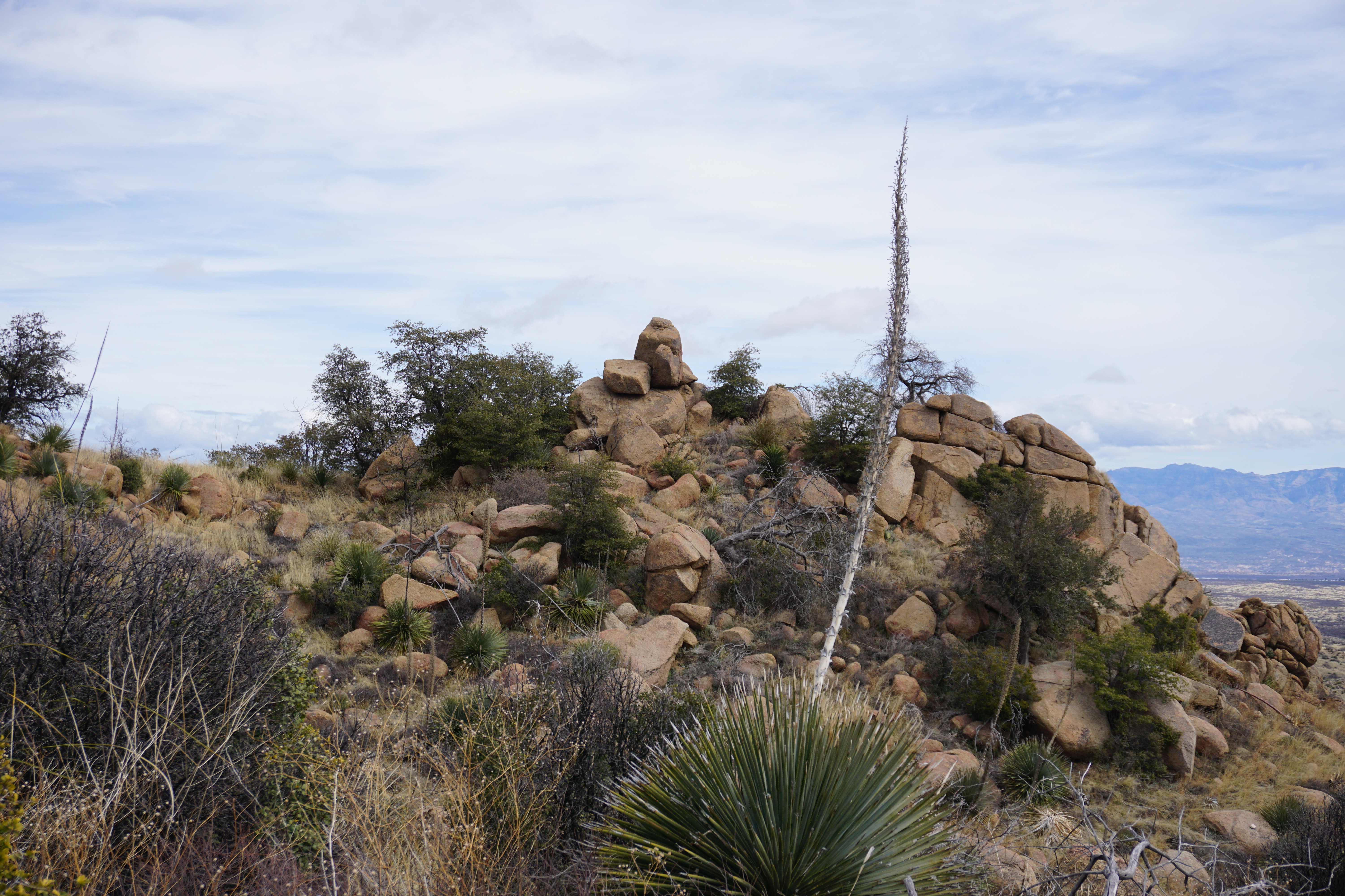
The trail takes us up where we can see wide vistas of the mountains to the east, then winds down into a wash. After one mile it starts to climb again and has switchbacks across a grassy area with large boulders.


We keep following the trail up and it takes us to High Jinks, a place where Buffalo Bill Cody once had a mine. This has been purchased by the country and now is privately owned. The property around it is designated as a National Historica Site. There are old stone structures and a wagon filled with antiques. A mailbox still stands on the property above an old swimming pool.
There is a gate to Oak Creek Ranch, that may have been used for a Boy Scout Camp in the past. It can be viewed once we hike further up the trail.


 |
| Oak Creek Ranch |

 |
| We stopped to have lunch. Lots of rocks to sit on, but not much of a view. |

We hiked about 1/2 hour past our spot for lunch to the ridge. It is an uphill climb. It was 3.6 miles to this spot. The medium group would have a 7.2 mile out and back hike. There is a view of Picacho Peak and the Biosphere 2. This hike has an elevation gain of 1293 feet in 3.6 miles.
 |
A picture of Jerry and Mike up the Arizona Trail after we turned right. |
 |
| The viewpoint looking back at Oracle. |
The hike down was like a leisure walk down a nice trail. There were a few spots where the trail needs to be fixed (holes where horses could break their legs). We saw two horses and met a few other hikers along the trail.


 |
We looked at the trail on the other side of the road. |
Directions: Take I-10 east to exit 219 (Picacho Peak) and turn left under the freeway. Turn Right onto the frontage road, Camino Adelante, at the stop sign before the train tracks. Follow the Camino Adelante for about four miles. Turn Left on Park Link Drive and drive 18 miles. Turn right on Highway 79. Go 10.3 miles then turn left onto Highway 77. Go about 10 miles and turn right onto American Avenue. Proceed through the town of Oracle until you come to Mount Lemmon Road and turn right. (There is no advance warning for the turnoff but there is a green sign right at the turnoff.) Follow the road for about four miles to American Flag Ranch road, and turn right at the street sign for American Flag Ranch Road. Drive until you see a wooden archway with a sign and a parking lot on each side of the road. Park on the right side of the road. No facilities at the trailhead.
No comments:
Post a Comment