Walking trails around Central Alberta

Thursday, December 12, 2019

December 11, 2019 King Canyon Trailhead. Gould Mine- Sendero Esparansa - King Canyon - Figure 8 on the track


Started at the Gould Mine Trailhead sign. Time 9:47 

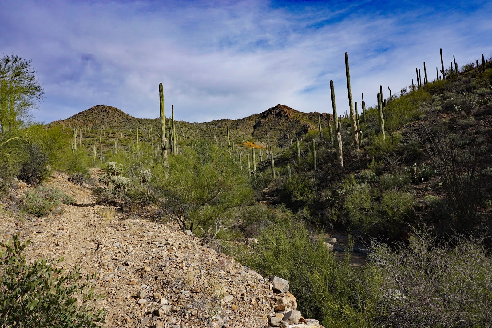
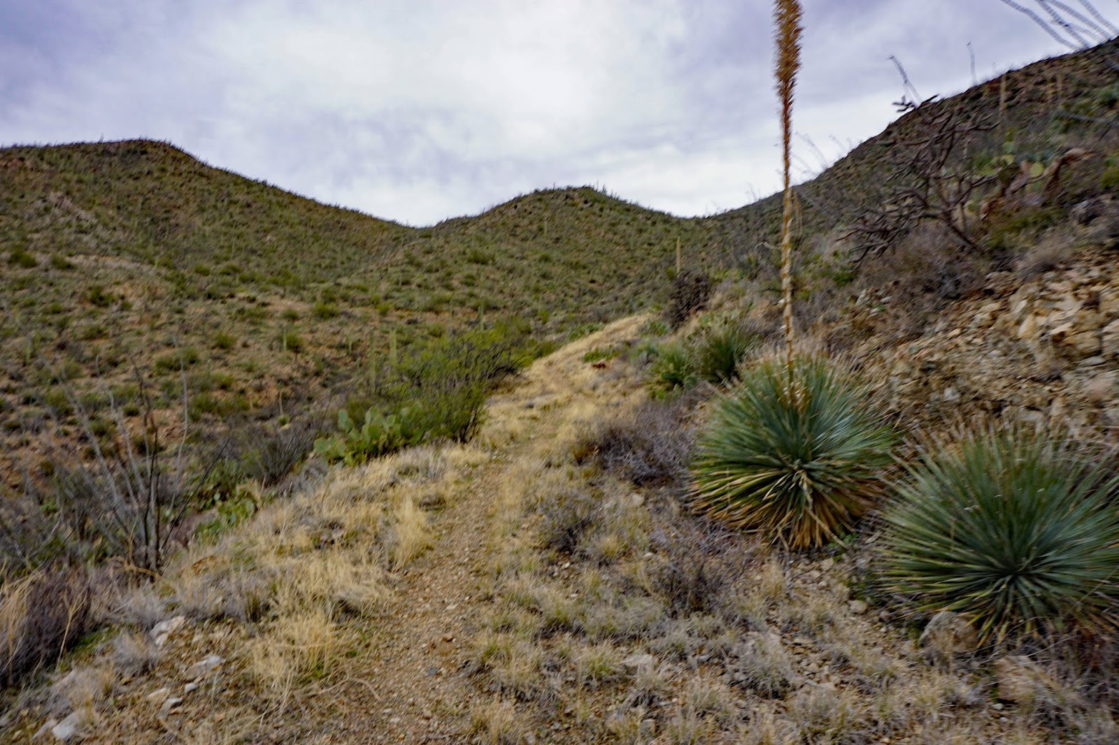
Linda and Nancy went on this hike on a beautiful day in the desert. We start on the Gould Mine Trail that goes down to a wash and up out of the wash to go along Kinney Road. Then it starts to climb gradually toward Gould Mine. We meet up with Sendero Esperansa and where we turn right toward the mine. The trail takes us past the dynamite storage facility and the old mine which has a large grate over the top. From there we backtrack along Sendero Esperanza until we see the "Mam-A-Gah Picknick Area" and go up the knoll to the structure that provides shade and tables. We are not ready for lunch at this point as it is only about 10:40. We start up a trail from the left corner of the area and walk until we see a stone house, then proceed down into the King Canyon Wash. On this hike, we go down a short trek down the wash to see the petroglyphs. We return to the top of the wash and continue to hike up the wash. The hike is a figure 8 so we see where we veer to the right into a wash. There is a sign that indicates the trail is straight up the wash, but that is for our way back. The trail we took was taken off the maps about 20 years ago, it used to be a road (according to a passerby on the trail). We hiked up this trail until we came across a trail leading out of the wash on the right. This trail had a nice incline and lead us along a ridge. We stay on this trail and have lunch on a corner near a large number of rocks at noon. We continue on this trail until it meets with Wasson Peak trail, Sweetwater Traill and King Canyon Trail, the time is 12:40. This is sometimes called the Sweetwater Saddle. From here the King Canyon Traill takes us down a scenic trail. We need to stop several times in order to see the view because there is loose gravel and we have to watch our feet when travelling this path. We hiked back to the wash and go toward King Canyon trailhead where we take the King Canyon Trail. The hike was 6.8 miles. 


Start of Gould Mine Trail


Can see the dynamite structure


Gould Mine


Dynamite Structure 


Lo
Looking down Sendero Esperanza Trail


Stone House near the Picnic Area


Man-made Dam on the King Canyon Wash

Petroglyphs near the start of the King Canyon Wash 


Start of Old King Canyon Trail
                                   

View from Old King Canyon Trail

The Old King Canyon Trail


View of the Old King Canyon Trail from King Canyon Trail 


At the junction of the King Canyon Trail and the King Canyon Wash. Both go to the Trailhead.

Looking Down onto the King Canyon Wash


The King Canyon Trailhead sign

Back to the Parking Lot - Time 1:40 -
About 4 hours and 6.8 Miles


Hike Description - 
Medium Hike from the King Canyon Trailhead: Gould Mine - Sendero Esperanza - King Canyon to Sweetwater Saddle.
Long Hike: From the King Canyon Trailhead to Wassen Peak 
Since this is a National Park each car should have an American Golden Passport Card. 
Directions, distance and time to the trailhead:
From Florence Blvd, take I-10 south to exit 236. Turn right and then a quick right onto Marana Road. Drive one mile and turn left onto North Sanders Road, drive four miles. At the stop sign turn left onto Avra Valley Road. Drive one mile and turn right onto Sandero Road. Proceed 9 miles and turn left at the entrance to the park, onto Kinney Road. Drive 2.4 miles to the Red Hills Visitor Center for a pit stop. Coming out of the Visitor Center turn left onto Kinney road then turn left at the dead-end (W.Mile Road Sign). Drive along Kinney road for about 2 miles, there is a sharp left into the Trailhead parking lot, no road sign not paved. The Desert Museum sign is in view, but you do not want to go that far. 


Monday, November 18, 2019

November 18, 2019 Prehike Bulldog Gate Trailhead for Bulldog Wash Trail and Idaho Pass


David and I (Nancy) went to scout this hike. We had a GPS track that was labelled Idaho Pass. The track took us on the immediate trail left of the road. Once on this trail, the track turned toward a wash and back toward the property lines of N. Cactus Road. There was no trail to be seen, just washes that had been grown over. If we had kept going we would likely have arrived at the trail that would take us to the right and onto the road, but we thought that the start of the hike would not have been a great hiking experience. After giving up on the track we found a trail with fresh footprints. We talked to some hikers who said they were going on a loop that would take them to their cars on a trailhead to the west of us. Their hike was about 4 miles. We followed the trail back to the road and followed it up into the mountains until we came across a road that took us on a loop to the trailhead. We talked to other hikers, they said there was a good trail along the top of the ridge, that we would be able to see the Town of Goldfield. We took the road for a while then turned onto a trail that was close to the trailhead toward the mountains. These were largely ATV Trails that did not take us to a navigatable trail. We came back to the road and decided we had enough for the day.  There are more interesting trails along these mountains. I could not find a hike on this trailhead on All Trails Website. Later I found this on Gaia Maps. The black dots are power poles. We decided to go on an alternate hike this Friday, November 22, 2019 to Romero Pools and Romero Springs in Catalina State Park.
The lesson from this scouting hike was that just because there is a GPS track, it doesn't mean there is a trail.

Trailhead


A Potential Trail

GPS Track that I had uploaded, but this did not follow a trail. 
It may have picked up a trail later, but we didn't think this would be a good trail to take hikers.