
We chose to come this way because Google Maps told us to use 16 Ave. rather than Central Ave. likely due to traffic. Either way is fine, although there was some construction on the corner of Baseline and Central Ave.
John and Nancy hiked from the Dobbins Lookout. We scouted out washrooms and found the best were at the South Mountain Ranger Station.
The hike from Dobbins Lookout is about 7.8 miles so it is good for a long hike. The medium hike can start from Buena Vista Lookout which we pass along the way (5.5 miles). The Buena Vista Lookout trailhead is further down the road from Dobbins Lookout.
At Dobbins lookout there is a great view of Phoenix and surrounding mountains as well as a stone house.
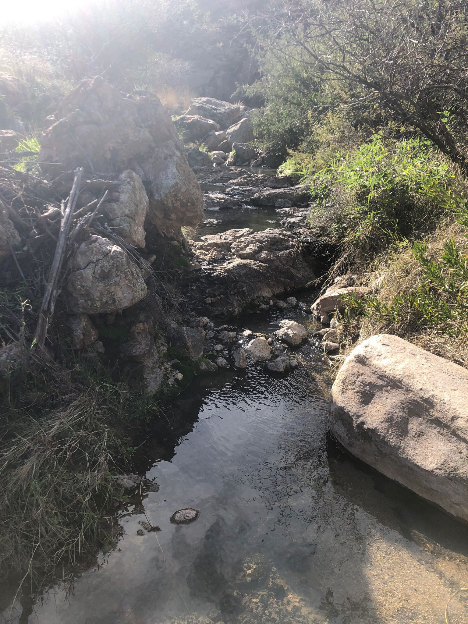
At Dobbins Lookout we started on Holbert Access Trail and kept to the right to Holbert Trail. We hiked down into a rocky valley and a wash. This trail crosses the E. Buena Vista Road and continues along ridge. (See pictures).
We continue on Holbert Trail. We can see the highway below. We turn left when the trail crosses the Tv Road and turns into Maricopa/National Trail that leads down to Buena Vista Lookout. (See pictures).
 |
| Buena Vista Lookout |
On the Buena Vista Lookout, we continued on the National/Maricopa Trail to Fat Man's pass. Fat Man's Pass is known for the narrow passage where we take the challenge to see if we can get through. We have to take our backpacks off and watch our heads for the large rock at the end of the passage. There is a trail that diverts away from this passage just to the left. Fat Man's Pass is the start of the Hidden Valley Trail.
The Hidden Valley trail has a number of fun obstacles that offer a challenge to us, senior hikers. This
picturesque valley is also a good place for lunch.
From the Fat Man's pass passageway we hike to an area where we make a choice of taking off our backpacks and sliding under a large rock, or we can go to the right and work our way through boulders to the bottom of the wash. John and I chose go through the boulders on the right.
From here we came across a slippery Rock. It is advantageous not to use poles, but instead, sit down and hang onto the rock to the right. and slowly work your way down. You may have jump a short distance or have someone hold your feet for security as you slide down.
Pictures from Previous Hikes
 |
| The rock where you take your pack off and go under a large rock and slide down. |
 |
| This is where you hold onto the rock and may need assistance from fellow hikers. |
There is a short distance to the tunnel, where we can see interesting rock formations from water running through the wash.
Once through the tunnel, we turned left to the National/Maricopa trail again. This makes a loop with the Hidden Valley Trail. At the junction with Mormon trail we turn left again and hike until we pass the turn to Hidden Valley/Fat Man's Pass. We headed back to Buena Vista Lookout on the National/Maricopa Trail.
Once at Buena Vista Lookout we continue on National/Maricopa Trail.
We looked off to our left along the trail and saw what is called the Chinese Wall (a rock formation that resembles the Great Wall of China).
We cross the Tv Road and turn right on Holbert Trail, back to Holbert Access Trail and back up to Dobbins Lookout. On All Trails map this hike is 7.8 miles.
 |
| Dobbins Lookout at the top |

Note: There are mountain bikers along the way who we have to pay attention to. If they happen to come around a corner when we are there, a mishap may occur. They are going over large boulders and narrow trails.






.JPG)


